
Landscapes
The Great Rift Valley
Escarpments, soda lakes and volcanoes along a continent slowly pulling apart.
The Rift is not a single valley but a long system of faults running from the Red Sea through East Africa. In northern Tanzania the Eastern branch is unmistakable: a sheer wall of rock above Lake Manyara, the volcanic highlands of Ngorongoro, the flat shimmer of soda lakes on the valley floor, and cones and craters wherever you look.
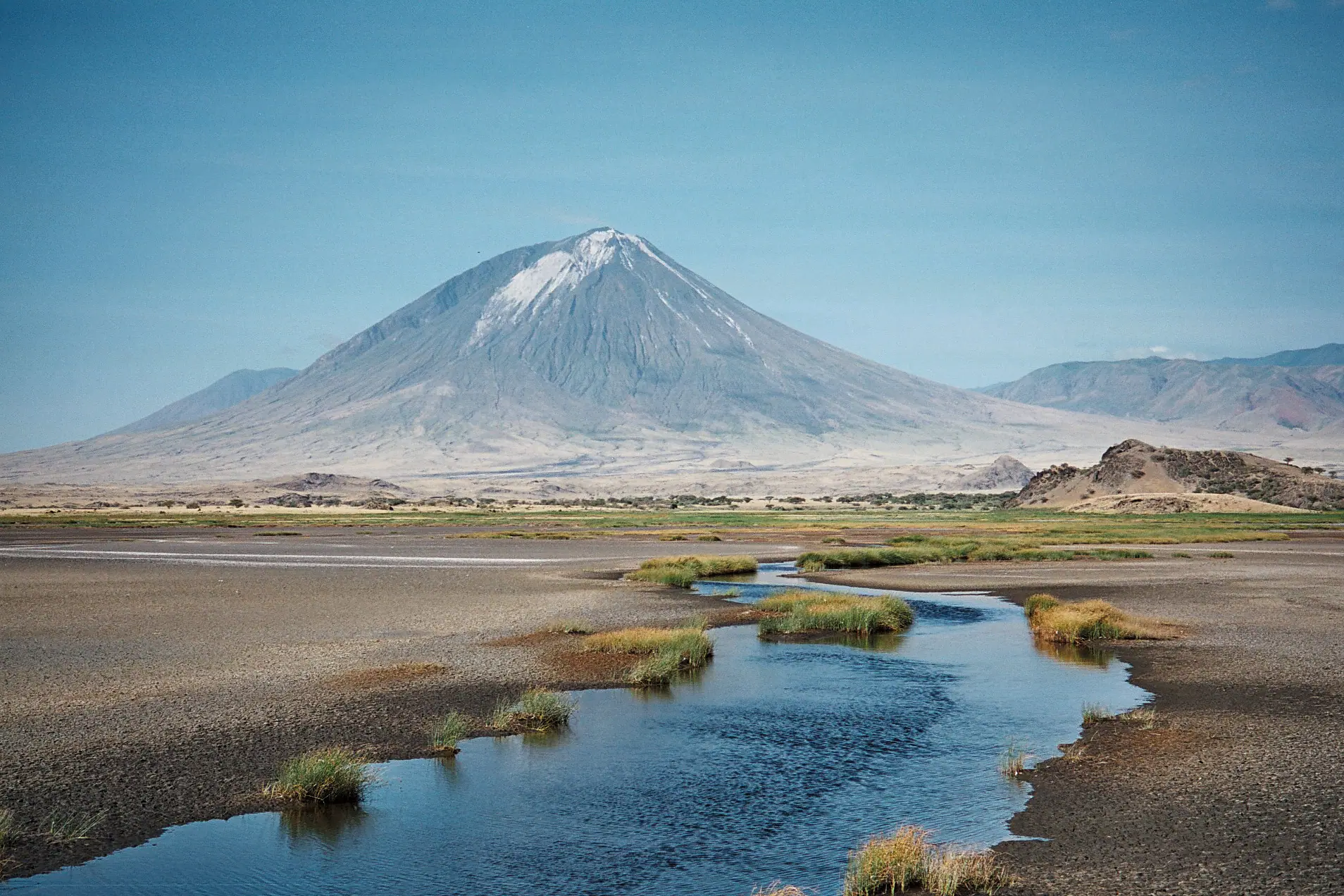
The lakes here are alkaline because water flows in but cannot flow out, leaving dissolved salts behind as it evaporates. Lake Natron is the most extreme of them, shallow, hot and highly caustic, and precisely because so little can live in it, it is the most important regular breeding site for lesser flamingos in East Africa. Nearby stands Ol Doinyo Lengai, at roughly 2,960 m, an active volcano known to scientists for its unusual, relatively cool carbonatite lava, which weathers to a pale grey-white on the slopes.
Far to the west, the other branch of the Rift holds Lake Tanganyika, around 1,470 m deep and one of the deepest and oldest lakes in the world. The forested mountains rising from its eastern shore — Mahale and Gombe — owe their shape to the same slow geological process.
Highlights
- The Rift Valley escarpment above Lake Manyara, with viewpoints on the road towards Karatu
- Lake Natron: a shallow, highly alkaline lake and an East African stronghold for breeding lesser flamingos
- Ol Doinyo Lengai, roughly 2,960 m, an active volcano with an unusual carbonatite lava
- The volcanic highlands and craters of Ngorongoro, Empakaai and Olmoti
- Lake Eyasi, a seasonal soda lake set below the Eyasi escarpment
- Lake Tanganyika in the Western Rift, one of the deepest lakes on earth
- Waterfalls and gorges in the Engare Sero area near Lake Natron
Where to see it
Best places for this
- Lake Natron
Northern Circuit
The most dramatic Rift landscape in northern Tanzania: the soda lake, the volcano and the escarpments around Engare Sero.
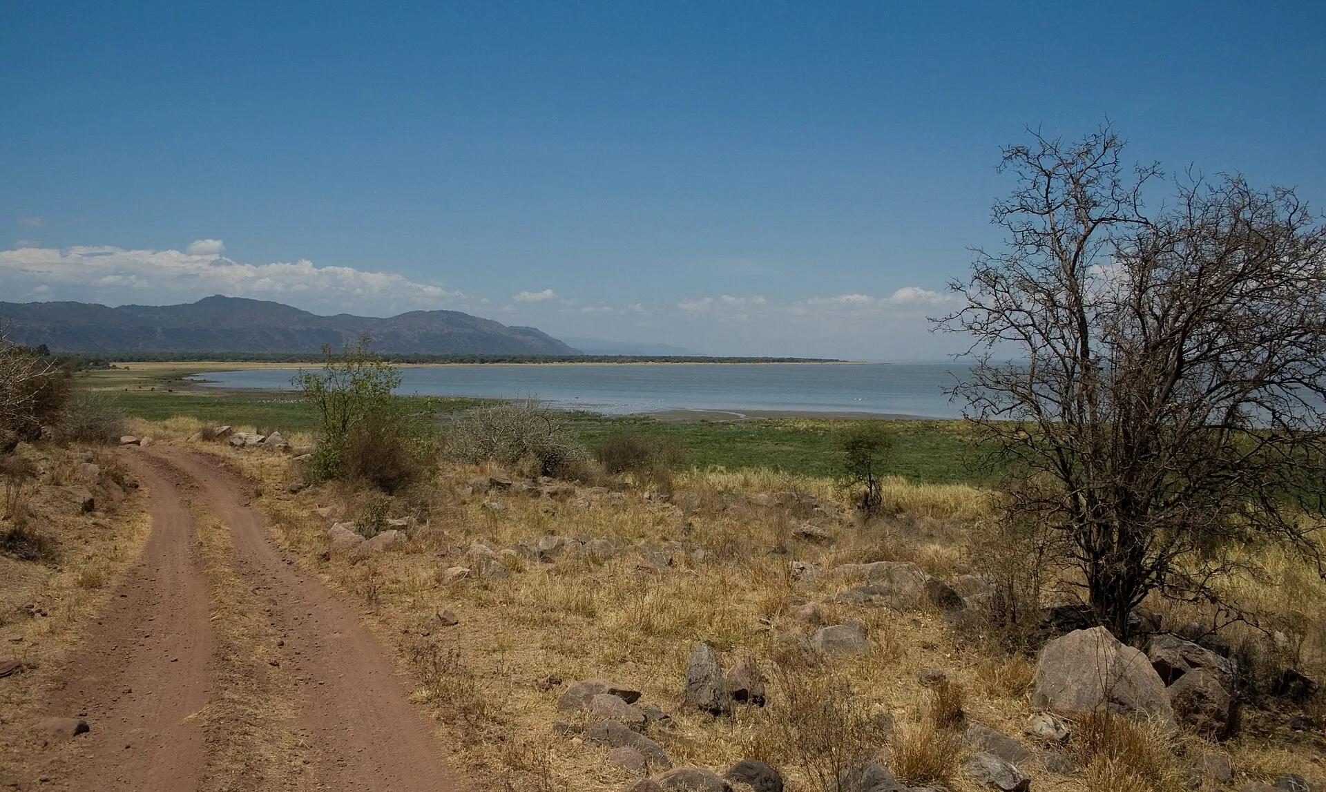 Lake Manyara National Park
Northern Circuit
The park runs along the foot of the western Rift wall, which rises several hundred metres above the lake and the forest.
 Ngorongoro Conservation Area
Northern Circuit
Volcanic highlands formed by the same rifting, including the crater itself and the smaller Empakaai and Olmoti calderas.
 Lake Eyasi
Northern Circuit
A seasonal alkaline lake in a separate arm of the Rift, below the steep Eyasi escarpment.
 Olduvai Gorge
Northern Circuit
A gorge cut through layers of volcanic ash and sediment laid down by Rift volcanoes — which is exactly why its fossil record is so readable.
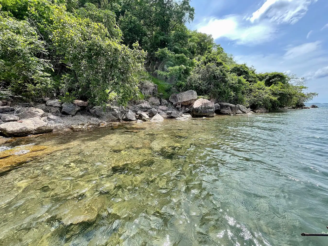 Mahale Mountains National Park
Western Circuit
On the Western branch of the Rift, where forested mountains drop straight into Lake Tanganyika.

Journeys that include this
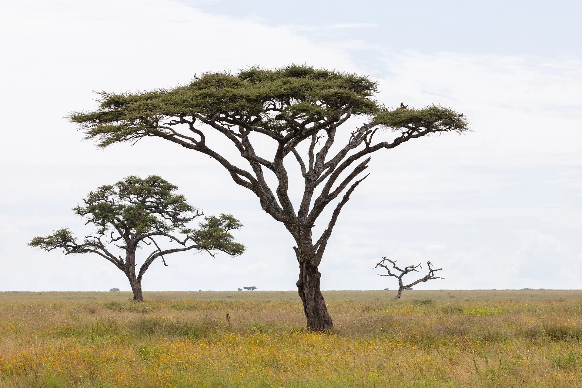 7 days · 6 nights
Northern Tanzania Safari
Seven days through Tarangire, Lake Manyara, the Serengeti and the Ngorongoro Crater
Arusha · Tarangire National Park · Lake Manyara National Park · Serengeti National Park · Ngorongoro Conservation Area
 10 days · 9 nights
Tanzania Safari & Zanzibar Escape
The Northern Circuit’s great parks, followed by Stone Town and the white sands of Zanzibar
Arusha · Tarangire National Park · Serengeti National Park · Ngorongoro Conservation Area · Zanzibar
 12 days · 11 nights
Tailor-Made Tanzania Journey
An example 12-day journey — safari, culture and beach — reshaped entirely around you
Arusha · Tarangire National Park · Serengeti National Park · Ngorongoro Conservation Area · Lake Manyara National Park · Zanzibar
More to see
Landscapes UNESCOThe Ngorongoro Crater
The Ngorongoro Crater is one of the world’s largest intact volcanic calderas, formed when a great volcano collapsed in on itself. Grassland, swamp, a soda lake and patches of forest on the floor support a high density of wildlife that stays largely inside the crater year-round. The wider conservation area is also a Maasai homeland and holds some of the most important early-human sites on earth.
 Landscapes
Baobabs & Landscapes
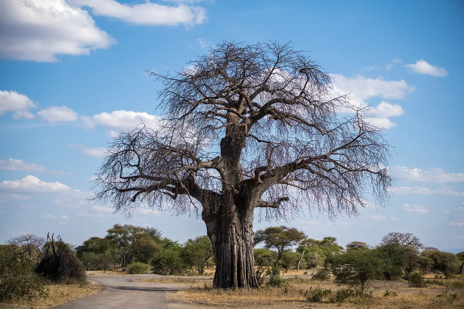
Tanzania’s landscapes are as memorable as its wildlife: baobab-studded valleys, granite kopjes rising from open plains, rift escarpments, montane forest and a long, palm-lined coast. For photographers especially, the country offers scenery that stands on its own without an animal in the frame.