Northern Circuit
Lake Natron
A blood-red soda lake below an active volcano, and East Africa’s flamingo nursery.
- Size
- Approximately 1,000 km², though the lake shrinks and expands greatly with rainfall
- Altitude
- Approximately 600 m at the lake; Ol Doinyo Lengai rises to approximately 2,962 m
- Best for
- Flamingos, volcano trekking and dramatic Rift Valley landscape photography
Lake Natron lies in a hot, low-lying stretch of the Gregory Rift near the Kenyan border, at roughly 600 m above sea level. Fed by mineral-rich springs and with no outlet, its water is extremely alkaline and can be very hot — conditions that few organisms tolerate. The salt-loving micro-organisms that do thrive there stain the shallows red and orange, which is why the lake looks so startling from the air.
Those same harsh conditions are exactly what make it precious. Lake Natron is the principal breeding site for East Africa’s lesser flamingos, which nest on salt islands that predators cannot reach. Breeding depends on water levels and rainfall and does not happen every year, and nesting areas are kept at a distance from visitors — so expect to see flamingos as a shimmering pink band across the shallows rather than up close.
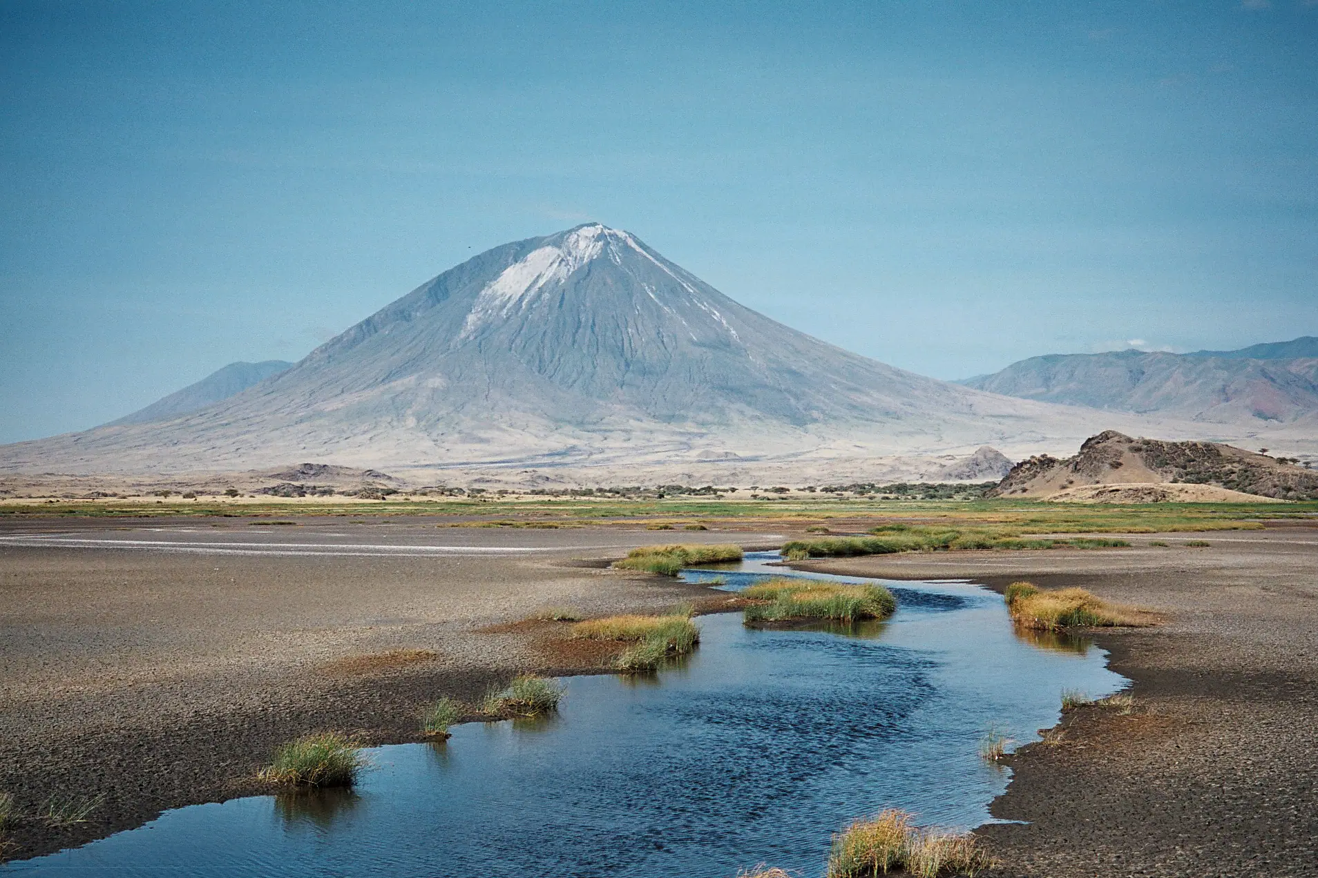
Above the southern shore rises Ol Doinyo Lengai, "the Mountain of God" in the Maa language, at approximately 2,962 m. It is the only active volcano in the world known to erupt natrocarbonatite lava — unusually cool, runny and dark, turning white as it weathers. The climb is done at night, and it is genuinely hard. Gentler alternatives fill the days: the Engare Sero waterfalls in a narrow gorge, walks with Maasai guides, and a site near the lake shore where thousands of years ago people walked across wet volcanic ash and left their footprints behind.

Highlights
- East Africa’s most important breeding site for lesser flamingos
- Ol Doinyo Lengai, the only active carbonatite volcano in the world, climbed overnight
- The Engare Sero waterfalls, reached on a walk up a narrow river gorge
- The Engare Sero footprints — ancient human tracks preserved in volcanic ash
- Raw, cinematic Rift Valley scenery unlike anywhere else on the northern circuit
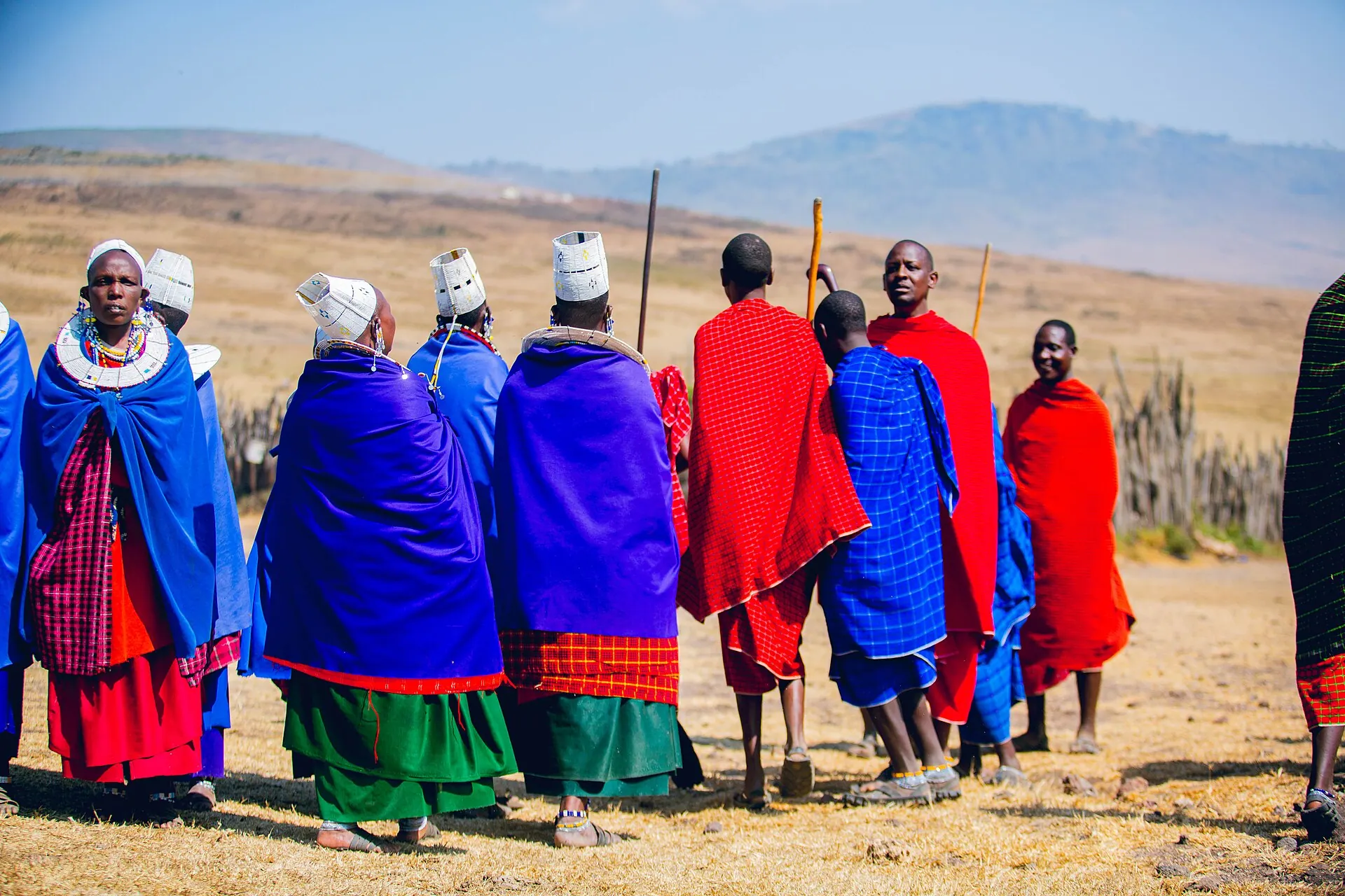
- Walks and cultural visits with Maasai guides who live in the area
- A rugged link between the Serengeti and the Ngorongoro highlands for adventurous travellers
Things to do
- Overnight climb of Ol Doinyo Lengai, starting around midnight for a sunrise summit
- Guided walk to the Engare Sero waterfalls
- Visit to the Engare Sero ancient footprint site with a local guide
- Flamingo and birdwatching walks along the lake margins
- Maasai village and culture visits arranged with the community
- Sunset and night photography over the lake and volcano
Wildlife you might see
Wildlife is wild — these are the species people hope for here, never a promise.
- Lesser flamingo, in large numbers when conditions suit (never guaranteed)
- Greater flamingo along the shallows
- Waders and waterbirds such as avocets, stilts and plovers
- Gerenuk and lesser kudu in the dry bush (scarce and easily missed)
- Grant’s gazelle and Kirk’s dik-dik
- Golden jackal and spotted hyena, occasionally at dusk
- Chanting goshawks and other dry-country raptors
Planning your visit
- Best time to go
- Roughly June to October and late December to February are the most practical, when the tracks are driest. It is hot all year and can be extremely hot from around December to March. Flamingo numbers and breeding vary with water levels from year to year and cannot be predicted.
- Getting there
- By road from Arusha, typically around four to five hours on a rough route via Mto wa Mbu and Engaruka. It can also be reached from the Serengeti or the Ngorongoro highlands on demanding tracks. A high-clearance 4x4 is essential and journey times vary a great deal with road conditions.
- Good to know
- It is genuinely hot and dry here — drink far more water than you think you need, and plan activities for early morning or late afternoon.
- Do not walk into the lake: the water is caustic and can burn skin, and the crust is unstable.
- The Ol Doinyo Lengai climb is steep, loose underfoot and done in the dark; it suits fit, experienced walkers only, and the volcano’s activity can close it at short notice.
- Nesting flamingos are highly sensitive to disturbance — follow your guide and keep the distance the guides set.
- Always ask before photographing people, and agree any fees with the community in advance.
What to see here
LandscapesThe Great Rift Valley
Tanzania sits astride the East African Rift, where the continent is gradually splitting along a system of faults. The Eastern branch gives northern Tanzania its towering escarpments, alkaline lakes and volcanoes, including the active Ol Doinyo Lengai; the Western branch holds Lake Tanganyika, one of the deepest lakes on earth.
WildlifeFlamingos & Soda Lakes
Northern Tanzania’s alkaline lakes look hostile — shallow, salty and often too caustic for fish — yet they support blooms of algae that feed flamingos in their thousands. Numbers move constantly between lakes with water levels and food, so a lake that was pink last month may be almost empty this one.
Culture & HistoryMaasai Culture
The Maasai are a Maa-speaking pastoralist people living across northern Tanzania and southern Kenya, including within the Ngorongoro Conservation Area. Visiting a community can be genuinely worthwhile when it is arranged with that community, fairly paid and honestly presented — and disappointing or intrusive when it is not.
WildlifeBirdwatching
Tanzania is one of Africa’s richest countries for birds, with more than 1,100 species recorded. Soda lakes, savannah, coastal forest, wetland and the ancient Eastern Arc Mountains sit within a single country, and the mountain forests in particular hold species found nowhere else.
Also in the Northern Circuit

Northern Circuit
Arusha
The green, lively gateway to Tanzania’s northern safari parks.

Northern Circuit
Tarangire National Park
Giant baobabs, big elephant herds and a river that draws wildlife in the dry season.
Northern Circuit
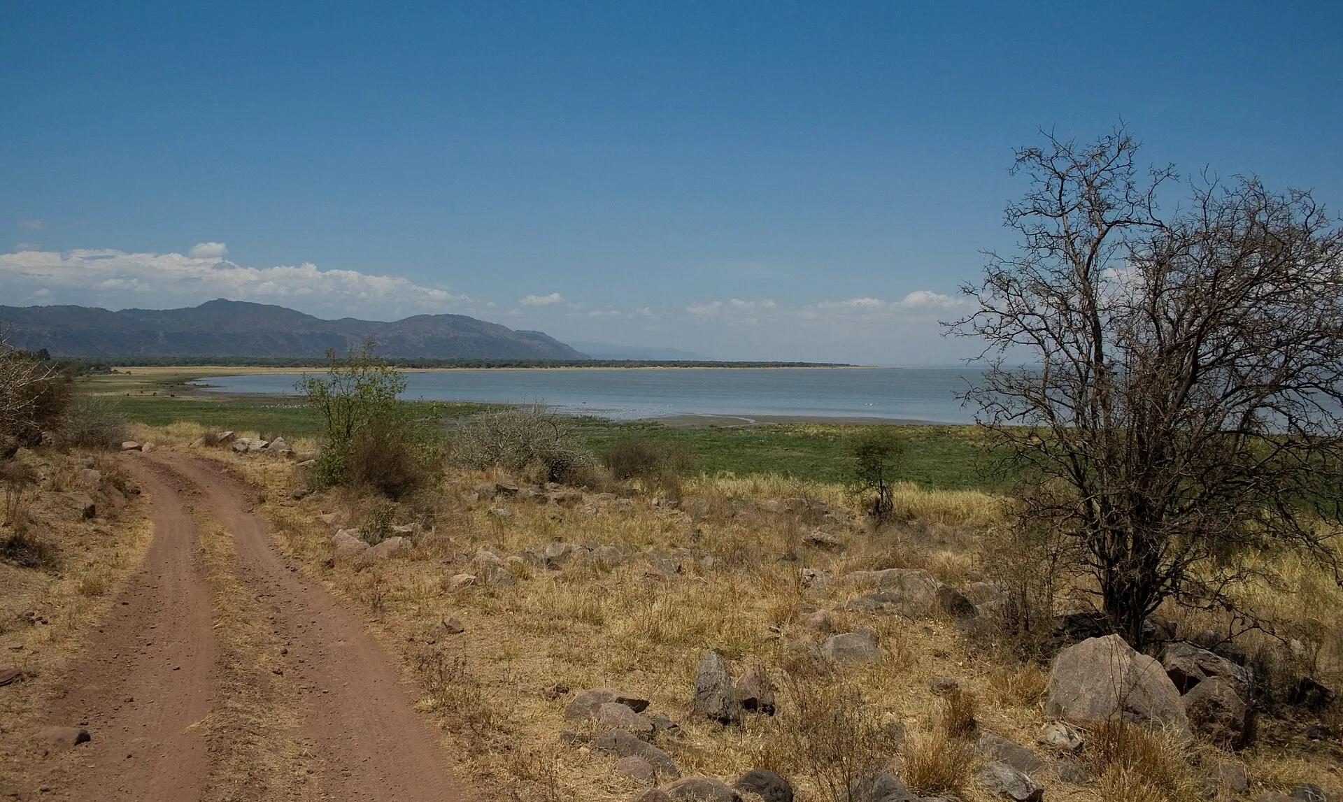
Lake Manyara National Park
A compact, green park between the Rift Valley wall and a shimmering soda lake.